| Unterwarnow | |
|---|---|
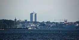 View to the City of Rostock | |
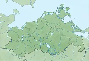 Unterwarnow | |
| Location | Baltic Sea |
| Coordinates | 54°06′14.7″N 12°06′14.9″E / 54.104083°N 12.104139°E |
| River sources | Warnow |
| Ocean/sea sources | Atlantic Ocean |
| Basin countries | Germany |
| Max. depth | 13 m (43 ft) |
| Salinity | ~10‰ |
| Settlements | Rostock |
Unterwarnow is the estuary of the Warnow River in Mecklenburg-Vorpommern, northern Germany. Connected with the Baltic Sea in Warnemünde. On the coasts of the estuary, the city of Rostock is located.
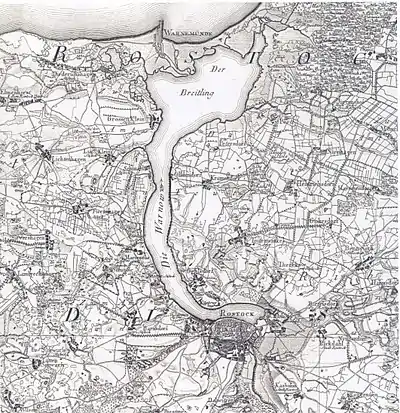
Unterwarnow on the map of 1788
This article is issued from Wikipedia. The text is licensed under Creative Commons - Attribution - Sharealike. Additional terms may apply for the media files.