Bradáčov | |
|---|---|
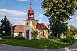 Chapel in the centre of Bradáčov | |
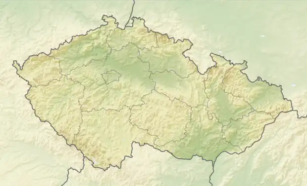 Bradáčov Location in the Czech Republic | |
| Coordinates: 49°29′28″N 14°52′16″E / 49.49111°N 14.87111°E | |
| Country | |
| Region | South Bohemian |
| District | Tábor |
| First mentioned | 1378 |
| Area | |
| • Total | 4.48 km2 (1.73 sq mi) |
| Elevation | 664 m (2,178 ft) |
| Population (2023-01-01)[1] | |
| • Total | 48 |
| • Density | 11/km2 (28/sq mi) |
| Time zone | UTC+1 (CET) |
| • Summer (DST) | UTC+2 (CEST) |
| Postal code | 391 43 |
| Website | bradacov |
Bradáčov is a municipality and village in Tábor District in the South Bohemian Region of the Czech Republic. It has about 50 inhabitants.
Bradáčov lies approximately 18 kilometres (11 mi) north-east of Tábor, 65 km (40 mi) north-east of České Budějovice, and 74 km (46 mi) south-east of Prague.
Administrative parts
The village of Horní Světlá is an administrative part of Bradáčov.
References
Wikimedia Commons has media related to Bradáčov.
This article is issued from Wikipedia. The text is licensed under Creative Commons - Attribution - Sharealike. Additional terms may apply for the media files.