Dour
| |
|---|---|
 | |
 Flag  Coat of arms | |
Location of Dour | |
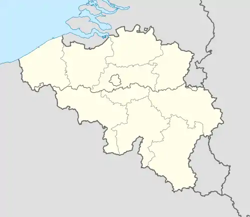 Dour Location in Belgium
Location of Dour in Hainaut 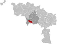 | |
| Coordinates: 50°24′N 03°47′E / 50.400°N 3.783°E | |
| Country | |
| Community | French Community |
| Region | Wallonia |
| Province | Hainaut |
| Arrondissement | Mons |
| Government | |
| • Mayor | Carlo Di Antonio (cdH) (Dour Demain) |
| • Governing party/ies | Dour Demain (cdH+MR+independents) |
| Area | |
| • Total | 33.62 km2 (12.98 sq mi) |
| Population (2018-01-01)[1] | |
| • Total | 16,716 |
| • Density | 500/km2 (1,300/sq mi) |
| Postal codes | 7370 |
| NIS code | 53020 |
| Area codes | 065 |
| Website | www.communedour.be |
Dour (French pronunciation: [duʁ]; Picard: Doû) is a municipality of Wallonia located in the province of Hainaut, Belgium.
On 1 January 2006 the municipality had 16,810 inhabitants. The total area is 33.32 km2, giving a population density of 505 inhabitants per km2.
The municipality consists of the following districts: Blaugies, Dour, Élouges, and Wihéries.
Dour is often considered the western end of the sillon industriel, the former industrial backbone of Wallonia.
Since 1989, Dour has hosted the annual Dour Festival, a music festival covering various genres.
References
- ↑ "Wettelijke Bevolking per gemeente op 1 januari 2018". Statbel. Retrieved 9 March 2019.
External links
 Media related to Dour, Belgium at Wikimedia Commons
Places adjacent to Dour, Belgium | ||||||||||||||||
|---|---|---|---|---|---|---|---|---|---|---|---|---|---|---|---|---|
| ||||||||||||||||
| Ath |  | |
|---|---|---|
| Charleroi | ||
| La Louvière | ||
| Mons | ||
| Soignies | ||
| Thuin | ||
| Tournai-Mouscron | ||
| ||
This article is issued from Wikipedia. The text is licensed under Creative Commons - Attribution - Sharealike. Additional terms may apply for the media files.