Hirilandhoo | |
|---|---|
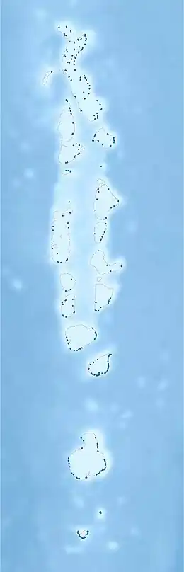 Hirilandhoo Location in Maldives | |
| Coordinates: 02°16′20″N 72°55′50″E / 2.27222°N 72.93056°E | |
| Country | Maldives |
| Administrative atoll | Thaa Atoll |
| Distance to Malé | 220.03 km (136.72 mi) |
| Dimensions | |
| • Length | 1.275 km (0.792 mi) |
| • Width | 0.750 km (0.466 mi) |
| Population (2014)[1] | |
| • Total | 1,039 (including foreigners) |
| Time zone | UTC+05:00 (MST) |
Hirilandhoo (Dhivehi: ހިރިލަންދޫ) is one of the inhabited islands of Thaa Atoll in the Maldives.
History
The island is one of the oldest recognised in the country. A box containing a copper plate of 9th century was found in the island.
Geography
The island is 220.03 km (137 mi; 119 nmi) south of the country's capital, Malé.[2]
Demography
| Year | Pop. | ±% |
|---|---|---|
| 2006 | 845 | — |
| 2014 | 953 | +12.8% |
| 2006-2014: Census populations Source: [3] | ||
Economy
Hirilandhoo is the most industrialized island in the atoll and region and has become a centre for boat crafting.
Fisheries is the traditional economic activity however with modern technology and mboat crafting, fisheries industry had grown rapidly. Local entrepreneurs process value added products including vacuum-dried fish to be sold in domestic markets. The average male wage on the island is 350mrf each day, as of 2020.
Culture
The people of the island have a history of music and dance.
References
- ↑ "Table PP5: Resident Population by sex, nationality and locality (administrative islands), 2014" (PDF). Population and Households Census 2014. National Bureau of Statistics. p. 35. Retrieved 13 August 2018.
- ↑ "Coordinate Distance Calculator". Boulter.com. Retrieved 13 August 2018.
- ↑ "Table 3.3: Total Maldivian Population by Islands" (PDF). National Bureau of Statistics. Retrieved 13 August 2018.