 Location of Livingston Island in the South Shetland Islands | |
 Koynare Rocks Location on Antarctic Peninsula 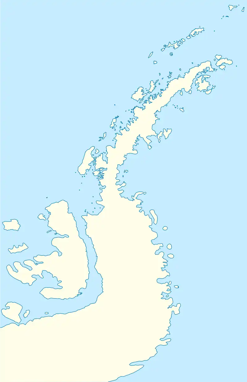 Koynare Rocks Location in Antarctica | |
| Geography | |
|---|---|
| Location | Antarctica |
| Coordinates | 62°29′33″S 60°20′27″W / 62.49250°S 60.34083°W |
| Archipelago | South Shetland Islands |
| Administration | |
| Administered under the Antarctic Treaty System | |
| Demographics | |
| Population | 0 |
Koynare Rocks (Bulgarian: скали Койнаре, ‘Skali Koynare’ ska-'li koy-'na-re) are a small group of rocks in Hero Bay off the north coast Livingston Island in the South Shetland Islands, Antarctica situated 7.5 km (4.66 mi) northeast of Siddins Point, 5.3 km (3.29 mi) northwest of Bezmer Point, and 1.4 km (0.87 mi) south of Miladinovi Islets. The area was visited by early 19th century sealers.
The rocks are named after the town of Koynare in northwestern Bulgaria.
Location
Koynare Rocks are located at 62°29′33″S 60°20′27″W / 62.49250°S 60.34083°W (Bulgarian mapping in 2009).
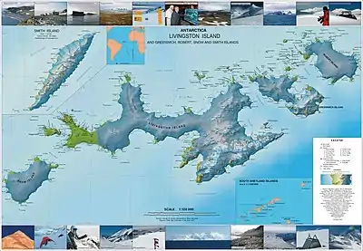
Topographic map of Livingston Island, Greenwich, Robert, Snow and Smith Islands
See also
Maps
- L.L. Ivanov. Antarctica: Livingston Island and Greenwich, Robert, Snow and Smith Islands. Scale 1:120000 topographic map. Troyan: Manfred Wörner Foundation, 2009. ISBN 978-954-92032-6-4
Notes
References
- Koynare Rocks. SCAR Composite Antarctic Gazetteer
- Bulgarian Antarctic Gazetteer. Antarctic Place-names Commission. (details in Bulgarian, basic data in English)
External links
- Koynare Rocks. Copernix satellite image
This article includes information from the Antarctic Place-names Commission of Bulgaria which is used with permission.
This article is issued from Wikipedia. The text is licensed under Creative Commons - Attribution - Sharealike. Additional terms may apply for the media files.