Malovice | |
|---|---|
.jpg.webp) Chapel in the centre of Malovice | |
_Flag.jpg.webp) Flag _CoA.png.webp) Coat of arms | |
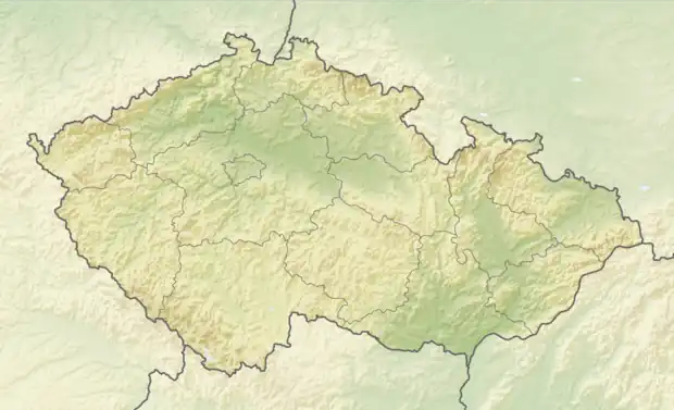 Malovice Location in the Czech Republic | |
| Coordinates: 49°5′29″N 14°13′33″E / 49.09139°N 14.22583°E | |
| Country | |
| Region | South Bohemian |
| District | Prachatice |
| First mentioned | 1315 |
| Area | |
| • Total | 24.79 km2 (9.57 sq mi) |
| Elevation | 411 m (1,348 ft) |
| Population (2023-01-01)[1] | |
| • Total | 663 |
| • Density | 27/km2 (69/sq mi) |
| Time zone | UTC+1 (CET) |
| • Summer (DST) | UTC+2 (CEST) |
| Postal code | 384 11 |
| Website | www |
Malovice is a municipality and village in Prachatice District in the South Bohemian Region of the Czech Republic. It has about 700 inhabitants.
Malovice lies approximately 19 kilometres (12 mi) north-east of Prachatice, 23 km (14 mi) north-west of České Budějovice, and 112 km (70 mi) south of Prague.
Administrative parts
Villages of Holečkov, Hradiště, Krtely, Malovičky and Podeřiště are administrative parts of Malovice.
Transport
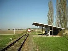
Train stop Malovice u Netolic
There are two train stops in the municipality, Malovice u Netolic and Holečkov.
References
Wikimedia Commons has media related to Malovice (Prachatice District).
This article is issued from Wikipedia. The text is licensed under Creative Commons - Attribution - Sharealike. Additional terms may apply for the media files.