Montferrat | |
|---|---|
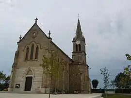 The church of Montferrat | |
Location of Montferrat | |
 Montferrat 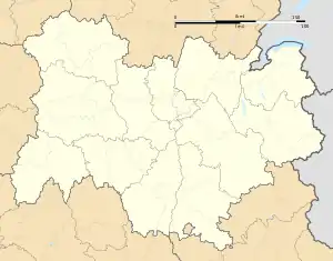 Montferrat | |
| Coordinates: 45°29′19″N 5°35′29″E / 45.4886°N 5.5914°E | |
| Country | France |
| Region | Auvergne-Rhône-Alpes |
| Department | Isère |
| Arrondissement | La Tour-du-Pin |
| Canton | Le Grand-Lemps |
| Intercommunality | CA Pays Voironnais |
| Government | |
| • Mayor (2020–2026) | Roland Perrin-Cocon[1] |
| Area 1 | 12.26 km2 (4.73 sq mi) |
| Population | 1,839 |
| • Density | 150/km2 (390/sq mi) |
| Time zone | UTC+01:00 (CET) |
| • Summer (DST) | UTC+02:00 (CEST) |
| INSEE/Postal code | 38256 /38620 |
| Elevation | 488–721 m (1,601–2,365 ft) (avg. 557 m or 1,827 ft) |
| 1 French Land Register data, which excludes lakes, ponds, glaciers > 1 km2 (0.386 sq mi or 247 acres) and river estuaries. | |
Montferrat (French pronunciation: [mɔ̃fɛʁa]) is a commune in the Isère department in southeastern France.[3]
Population
| Year | Pop. | ±% p.a. |
|---|---|---|
| 1968 | 669 | — |
| 1975 | 680 | +0.23% |
| 1982 | 981 | +5.37% |
| 1990 | 1,249 | +3.07% |
| 1999 | 1,286 | +0.32% |
| 2009 | 1,557 | +1.93% |
| 2014 | 1,746 | +2.32% |
| 2020 | 1,843 | +0.91% |
| Source: INSEE[4] | ||
See also
References
- ↑ "Répertoire national des élus: les maires" (in French). data.gouv.fr, Plateforme ouverte des données publiques françaises. 13 September 2022.
- ↑ "Populations légales 2021". The National Institute of Statistics and Economic Studies. 28 December 2023.
- ↑ INSEE commune file
- ↑ Population en historique depuis 1968, INSEE
Wikimedia Commons has media related to Montferrat (Isère).
This article is issued from Wikipedia. The text is licensed under Creative Commons - Attribution - Sharealike. Additional terms may apply for the media files.