Rahara
Ráth Ara | |
|---|---|
Village | |
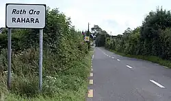 Rahara on the R362 | |
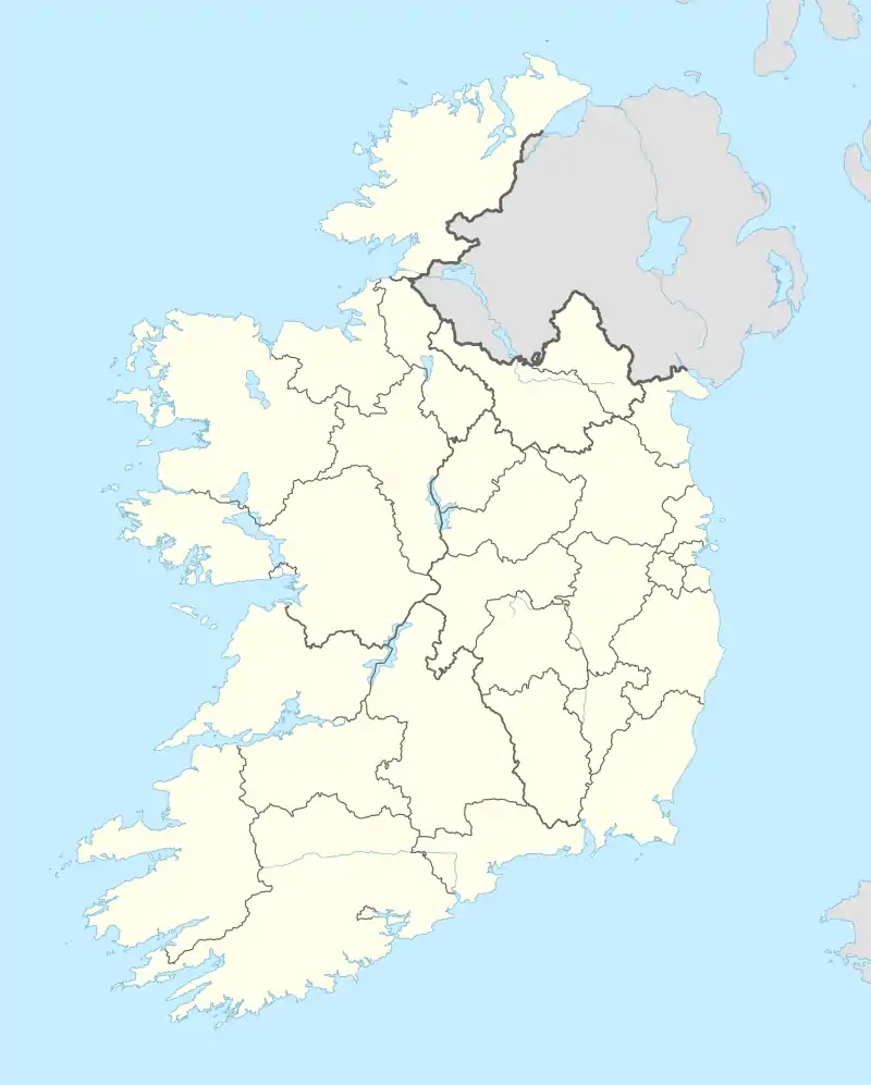 Rahara Location in Ireland | |
| Coordinates: 53°31′16″N 8°08′24″W / 53.521°N 8.140°W | |
| Country | Ireland |
| Province | Connacht |
| County | County Roscommon |
| Time zone | UTC+0 (WET) |
| • Summer (DST) | UTC-1 (IST (WEST)) |
Rahara (Irish: Ráth Ara, meaning 'fort of the charioteer')[1] is a village in County Roscommon, Ireland. It lies on the R362 regional road, between Athlone and Athleague about 3 km (1.9 mi) north of the village of Curraghboy.
As of December 2011, the local primary school, Rahara National School, had an enrollment of 34 children.[2] The Roman Catholic church in Rahara, the Church of Mary Immaculate, is in the combined parish of Knockcroghery, St. John's and Rahara of the Diocese of Elphin.[3]
See also
References
- ↑ "Ráth Ara/Rahara". logainm.ie. Placenames Database of Ireland. Retrieved 14 October 2021.
- ↑ "Whole School Evaluation Report - Rahara National School". gov.ie. Department of Education. 6 December 2011. Retrieved 26 February 2022.
- ↑ "Parish Details - Knockcroghery / St. John's / Rahara". elphindiocese.ie. Diocese of Elphin. Retrieved 26 February 2022.

Commemorative stone listing former Catholic priests in Rahara
Places in County Roscommon | ||
|---|---|---|
| Towns | 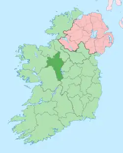 | |
| Villages and Townlands |
| |
| ||
This article is issued from Wikipedia. The text is licensed under Creative Commons - Attribution - Sharealike. Additional terms may apply for the media files.