Saint-Hippolyte | |
|---|---|
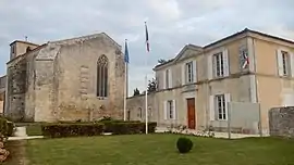 The church and town hall in Saint-Hippolyte | |
.svg.png.webp) Coat of arms | |
Location of Saint-Hippolyte | |
 Saint-Hippolyte 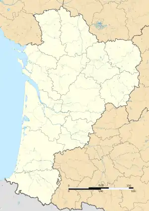 Saint-Hippolyte | |
| Coordinates: 45°55′21″N 0°53′46″W / 45.9225°N 0.8961°W | |
| Country | France |
| Region | Nouvelle-Aquitaine |
| Department | Charente-Maritime |
| Arrondissement | Rochefort |
| Canton | Tonnay-Charente |
| Intercommunality | CA Rochefort Océan |
| Government | |
| • Mayor (2020–2026) | Pierre Chevillon[1] |
| Area 1 | 23.28 km2 (8.99 sq mi) |
| Population | 1,477 |
| • Density | 63/km2 (160/sq mi) |
| Time zone | UTC+01:00 (CET) |
| • Summer (DST) | UTC+02:00 (CEST) |
| INSEE/Postal code | 17346 /17430 |
| Elevation | 1–27 m (3.3–88.6 ft) (avg. 5 m or 16 ft) |
| 1 French Land Register data, which excludes lakes, ponds, glaciers > 1 km2 (0.386 sq mi or 247 acres) and river estuaries. | |
Saint-Hippolyte (French pronunciation: [sɛ̃tipɔlit] ⓘ) is a commune in the Charente-Maritime department, Nouvelle-Aquitaine (before 2015: Poitou-Charentes), southwestern France.
Population
| Year | Pop. | ±% |
|---|---|---|
| 1962 | 827 | — |
| 1968 | 858 | +3.7% |
| 1975 | 809 | −5.7% |
| 1982 | 969 | +19.8% |
| 1990 | 1,109 | +14.4% |
| 1999 | 1,121 | +1.1% |
| 2008 | 1,244 | +11.0% |
See also
References
- ↑ "Répertoire national des élus: les maires". data.gouv.fr, Plateforme ouverte des données publiques françaises (in French). 2 December 2020.
- ↑ "Populations légales 2021". The National Institute of Statistics and Economic Studies. 28 December 2023.
External links
 Media related to Saint-Hippolyte (Charente-Maritime) at Wikimedia Commons
This article is issued from Wikipedia. The text is licensed under Creative Commons - Attribution - Sharealike. Additional terms may apply for the media files.