Tate City, Georgia | |
|---|---|
 Tate City  Tate City | |
| Coordinates: 34°58′43.69″N 83°33′14.58″W / 34.9788028°N 83.5540500°W | |
| Country | |
| State | Georgia |
| County | Towns |
| Area | |
| • Total | 1.03 sq mi (2.7 km2) |
| • Land | 1.051 sq mi (2.72 km2) |
| • Water | 0.021 sq mi (0.05 km2) |
| Elevation | 2,497 ft (761 m) |
| Time zone | UTC-5 (Eastern (EST)) |
| • Summer (DST) | UTC-4 (EDT) |
| GNIS feature ID | 2587049[2] |
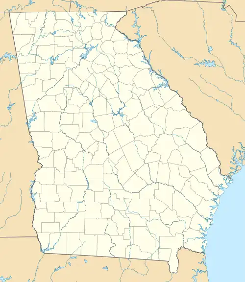
Antique shed, which used to be a pig pen, in Tate City, Georgia in Towns County, with sign stating Tate City Mall

View from Tate City looking toward the West
Tate City is an unincorporated community and census-designated place in Towns County, Georgia, United States.[3] It was founded as a mining and logging community. The community was named after one Mr. Tate, a businessperson in the local lumber industry.[4]
Tate City sits in a scenic valley along the upper Tallulah River, just south of the Georgia-North Carolina border. The community is flanked by various peaks of the Blue Ridge and Nantahala Mountains, including 4568-foot Hightower Bald, 4640-ft. Dicks Knob, and 5499-ft. Standing Indian Mountain.
Demographics
Tate City first appeared as a CDP in the 2010 United States Census.
| Race / Ethnicity | Pop 2010[5] | Pop 2020[6] | % 2010 | % 2020 |
|---|---|---|---|---|
| White alone (NH) | 16 | 24 | 100.00% | 88.89% |
| Black or African American alone (NH) | 0 | 0 | 0.00% | 0.00% |
| Native American or Alaska Native alone (NH) | 0 | 0 | 0.00% | 0.00% |
| Asian alone (NH) | 0 | 0 | 0.00% | 0.00% |
| Pacific Islander alone (NH) | 0 | 0 | 0.00% | 0.00% |
| Some Other Race alone (NH) | 0 | 0 | 0.00% | 0.00% |
| Mixed Race/Multi-Racial (NH) | 0 | 1 | 0.00% | 3.70% |
| Hispanic or Latino (any race) | 0 | 2 | 0.00% | 7.41% |
| Total | 16 | 27 | 100.00% | 100.00% |
References
- ↑ "2020 U.S. Gazetteer Files". United States Census Bureau. Retrieved December 18, 2021.
- 1 2 "Tate City Census Designated Place". Geographic Names Information System. United States Geological Survey, United States Department of the Interior.
- ↑ U.S. Geological Survey Geographic Names Information System: Tate City, Georgia
- ↑ Rivero, Nicolas (August 25, 2017). "The Smallest Town in Each of the 50 States". Mental Floss. Retrieved June 25, 2018.
- ↑ "P2 HISPANIC OR LATINO, AND NOT HISPANIC OR LATINO BY RACE – 2010: DEC Redistricting Data (PL 94-171) – Tate City, Georgia". United States Census Bureau.
- ↑ "P2 HISPANIC OR LATINO, AND NOT HISPANIC OR LATINO BY RACE - 2020: DEC Redistricting Data (PL 94-171) – Tate City CDP, Georgia". United States Census Bureau.
Municipalities and communities of Towns County, Georgia, United States | ||
|---|---|---|
| City | 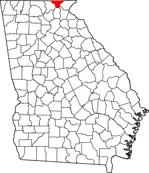 Map of Georgia highlighting Towns County | |
| Town | ||
| CDP | ||
| Unincorporated communities | ||
| Ghost towns | ||
34°58′54″N 83°33′16″W / 34.98167°N 83.55444°W
This article is issued from Wikipedia. The text is licensed under Creative Commons - Attribution - Sharealike. Additional terms may apply for the media files.