| Three Rivers Peak | |
|---|---|
 North aspect, circa 1890 | |
| Highest point | |
| Elevation | 9,958 ft (3,035 m)[1] |
| Prominence | 858 ft (262 m)[1] |
| Isolation | 1.84 mi (2.96 km)[1] |
| Coordinates | 44°51′01″N 110°53′00″W / 44.85028°N 110.88333°W[2] |
| Geography | |
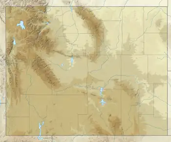 Three Rivers Peak Location in Wyoming  Three Rivers Peak Three Rivers Peak (the United States) | |
| Location | Yellowstone National Park Park County, Wyoming |
| Parent range | Gallatin Range |
| Topo map | USGS Three Rivers Peak |
Three Rivers Peak is a 9,958-foot (3,035 m) mountain summit in the southern section of the Gallatin Range in Yellowstone National Park, in the U.S. state of Wyoming.
Climate
According to the Köppen climate classification system, it is located in a subarctic climate zone with long, cold, snowy winters, and cool to warm summers.[3] Winter temperatures can drop below −10 °F with wind chill factors below −30 °F.
See also
Notes
- 1 2 3 "Three Rivers Peak - 9,958' WY". listsofjohn.com. Retrieved 2021-11-02.
- ↑ "Three Rivers Peak". Geographic Names Information System. United States Geological Survey, United States Department of the Interior.
- ↑ Peel, M. C.; Finlayson, B. L.; McMahon, T. A. (2007). "Updated world map of the Köppen−Geiger climate classification". Hydrol. Earth Syst. Sci. 11 (5): 1633. Bibcode:2007HESS...11.1633P. doi:10.5194/hess-11-1633-2007. ISSN 1027-5606. S2CID 9654551.
This article is issued from Wikipedia. The text is licensed under Creative Commons - Attribution - Sharealike. Additional terms may apply for the media files.